Warning: All posts are written both in Portuguese and English. Please, hit the "Read More" link for the English version.
Mostrando postagens com marcador layout. Mostrar todas as postagens

Streets Update #03

>> terça-feira, 16 de junho de 2009

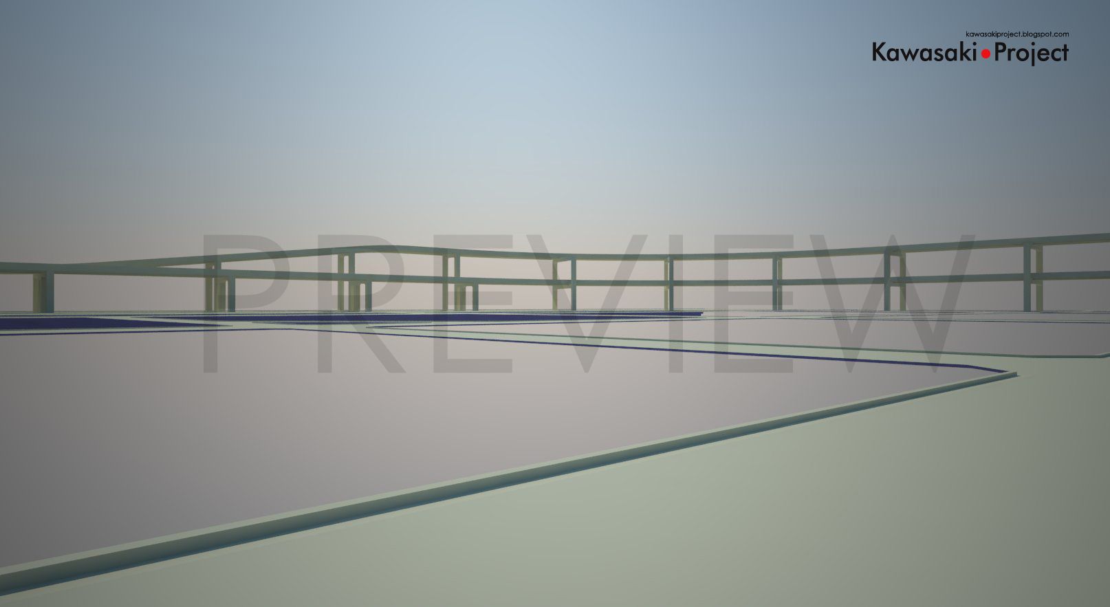
Devido a um problema que gerou um efeito tipo “dominó”, acabei por refazendo quase que todo o mapa novamente. O que aconteceu foi que uma das ruas utilizadas como guia de construção tinha uma diferença de ângulo entre uma ponta e a outra, fazendo com que todas as conseqüentes fossem modeladas “inclinadas”, tirando assim a acuidade do mapa. O problema se mostrou ao tentar se fazer o encaixe de alguns prédios em suas áreas designadas. Felizmente foi algo que pode ser identificado logo de inicio.

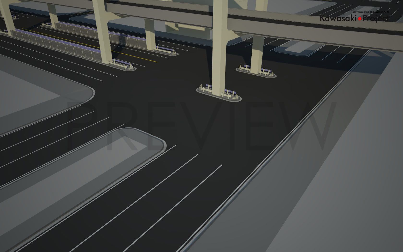
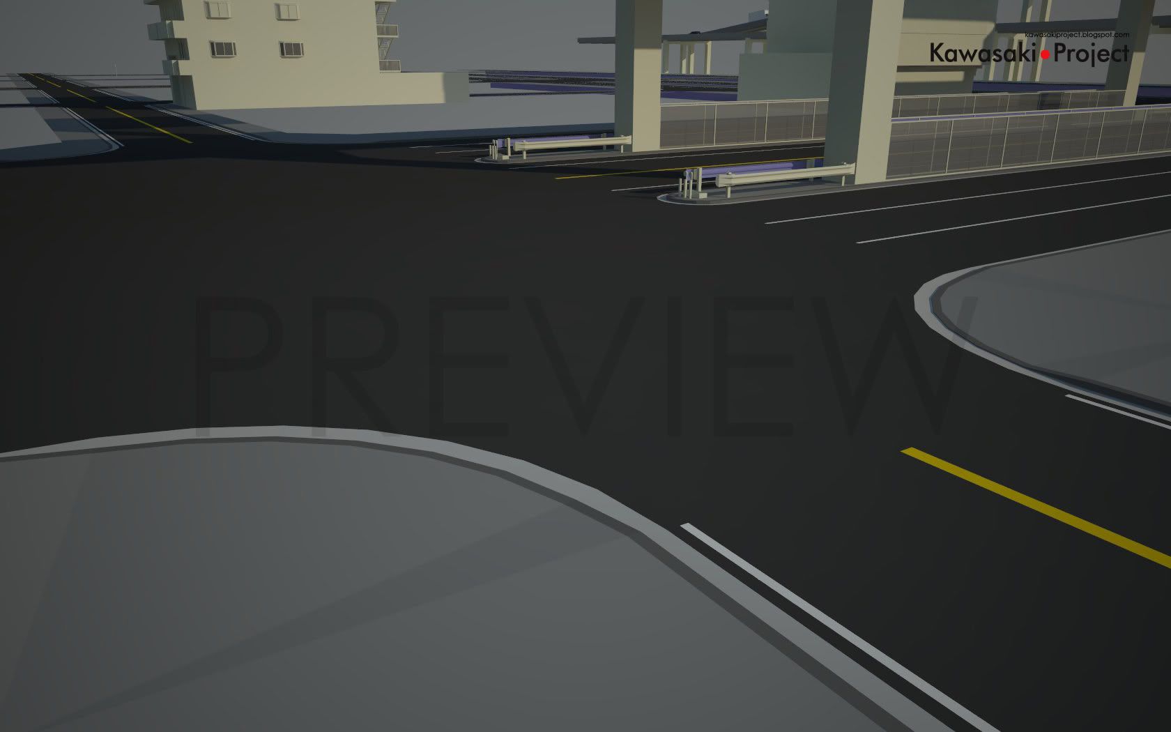
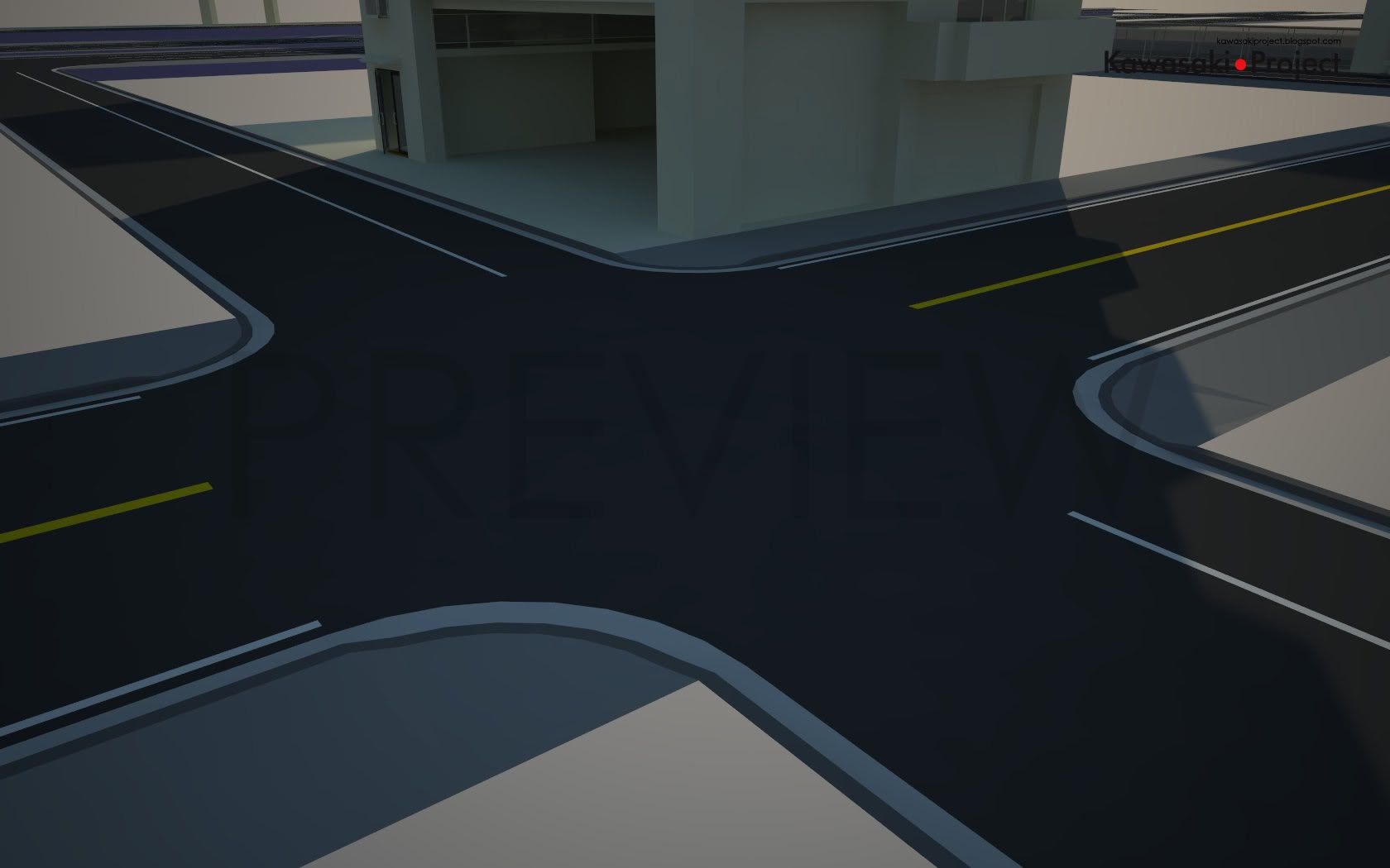
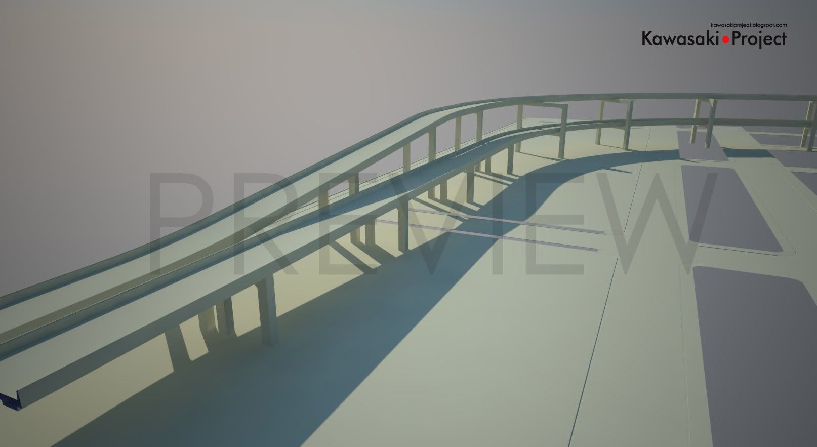
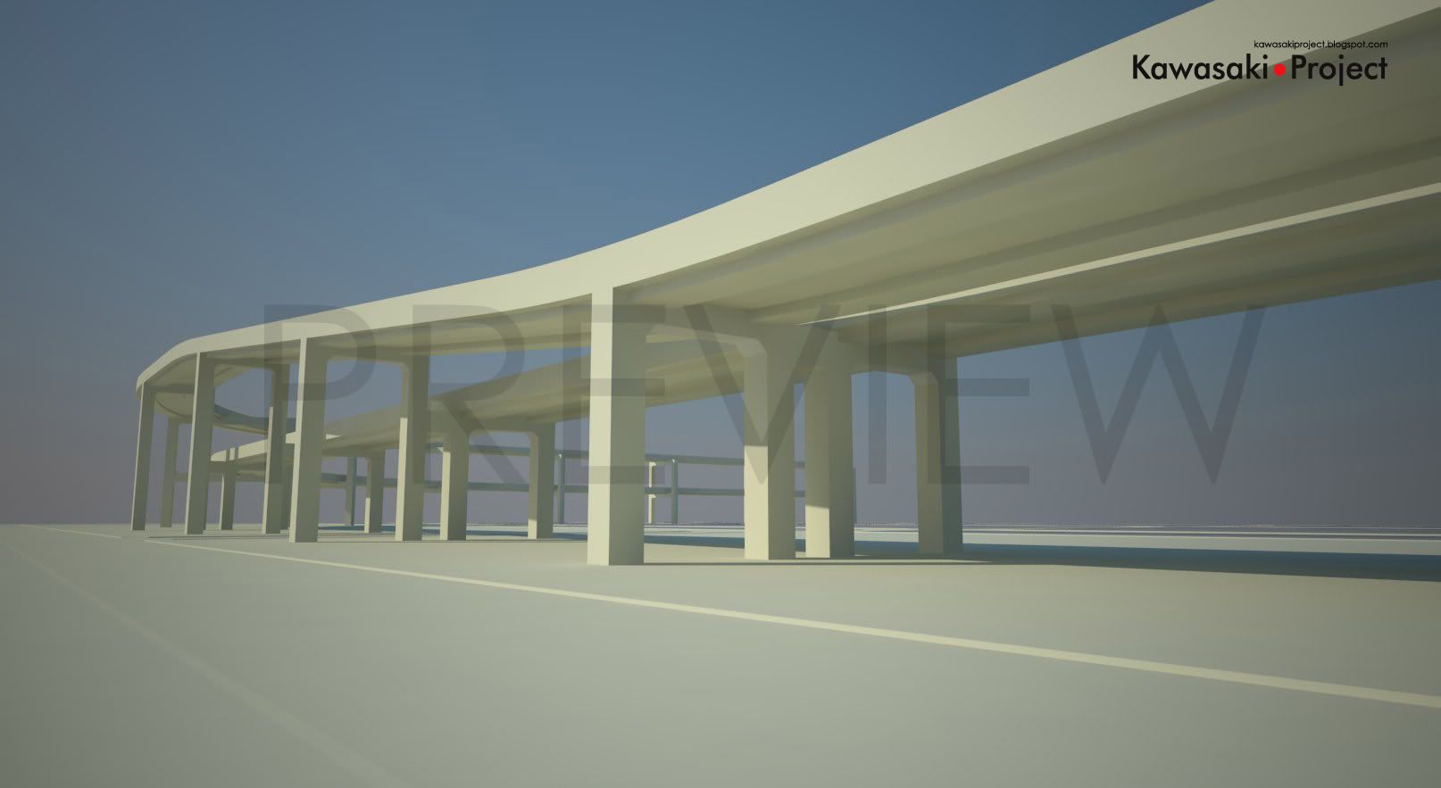
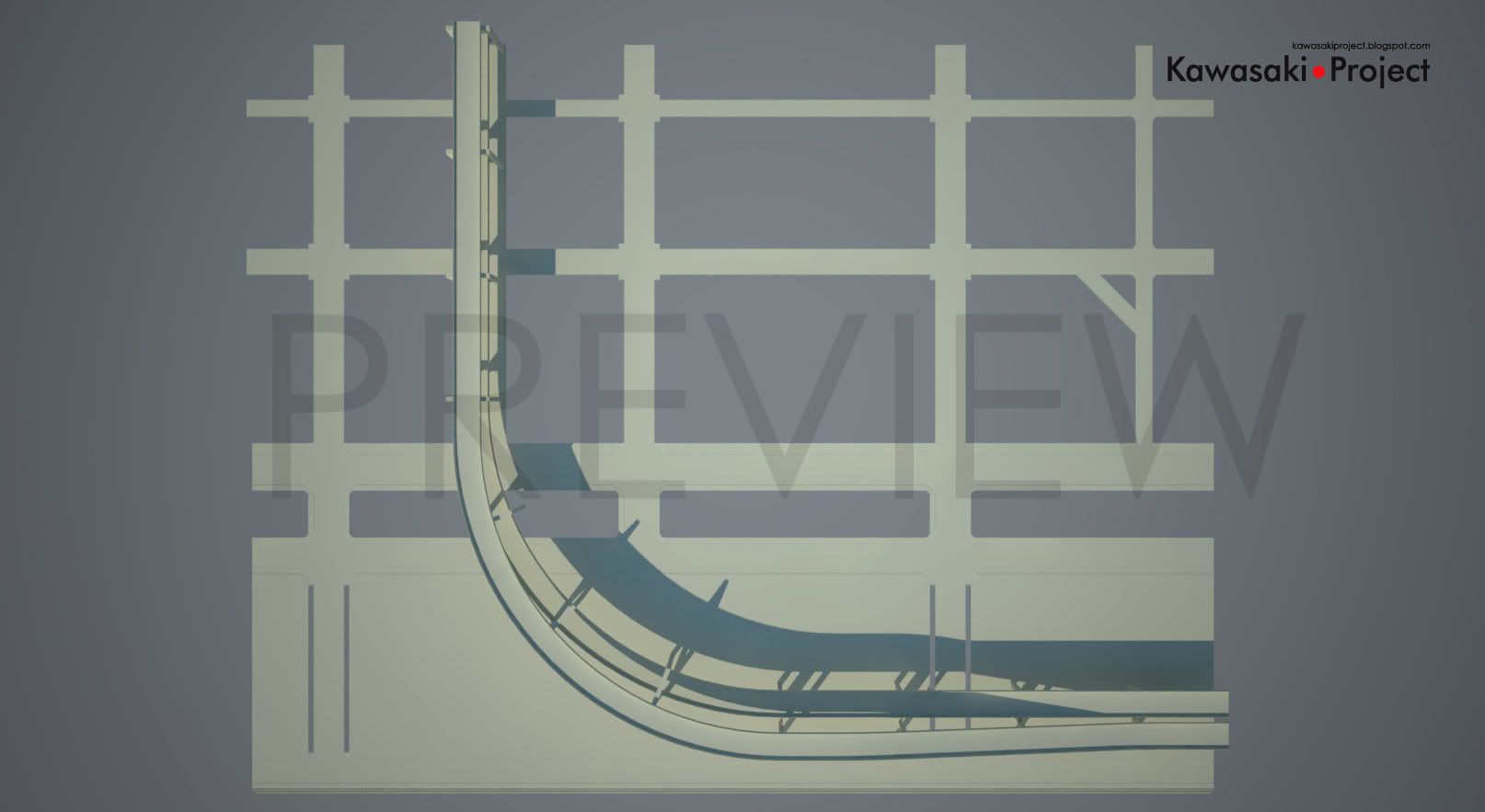
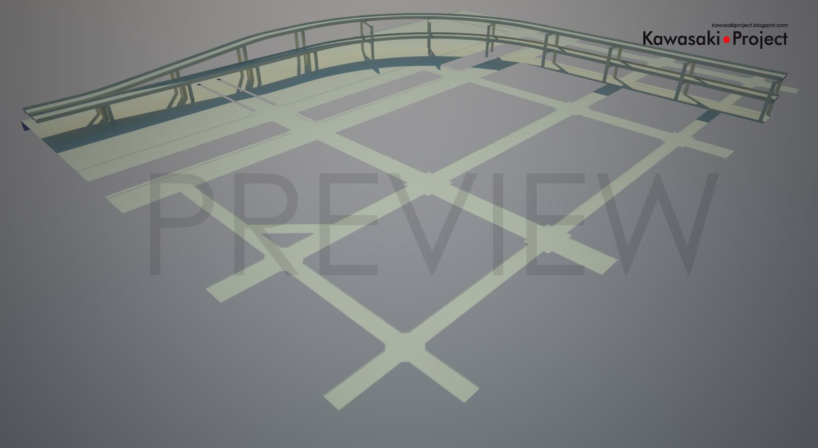
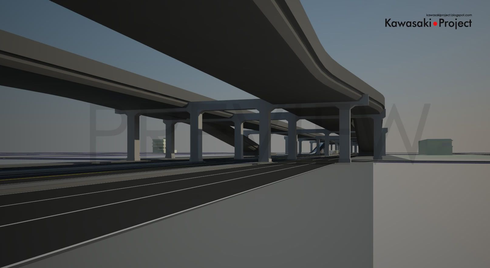
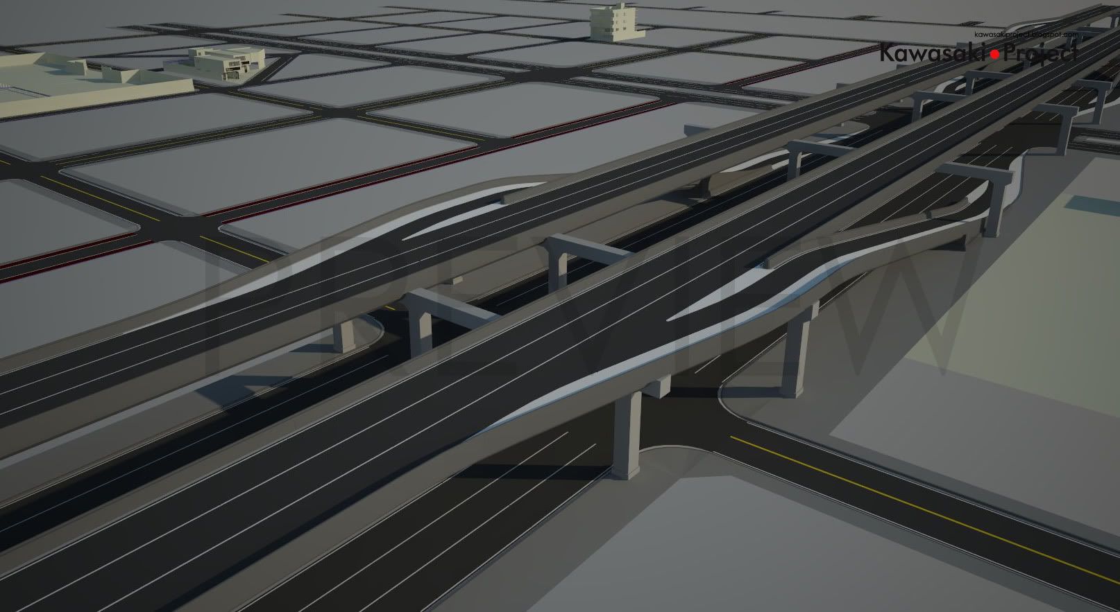
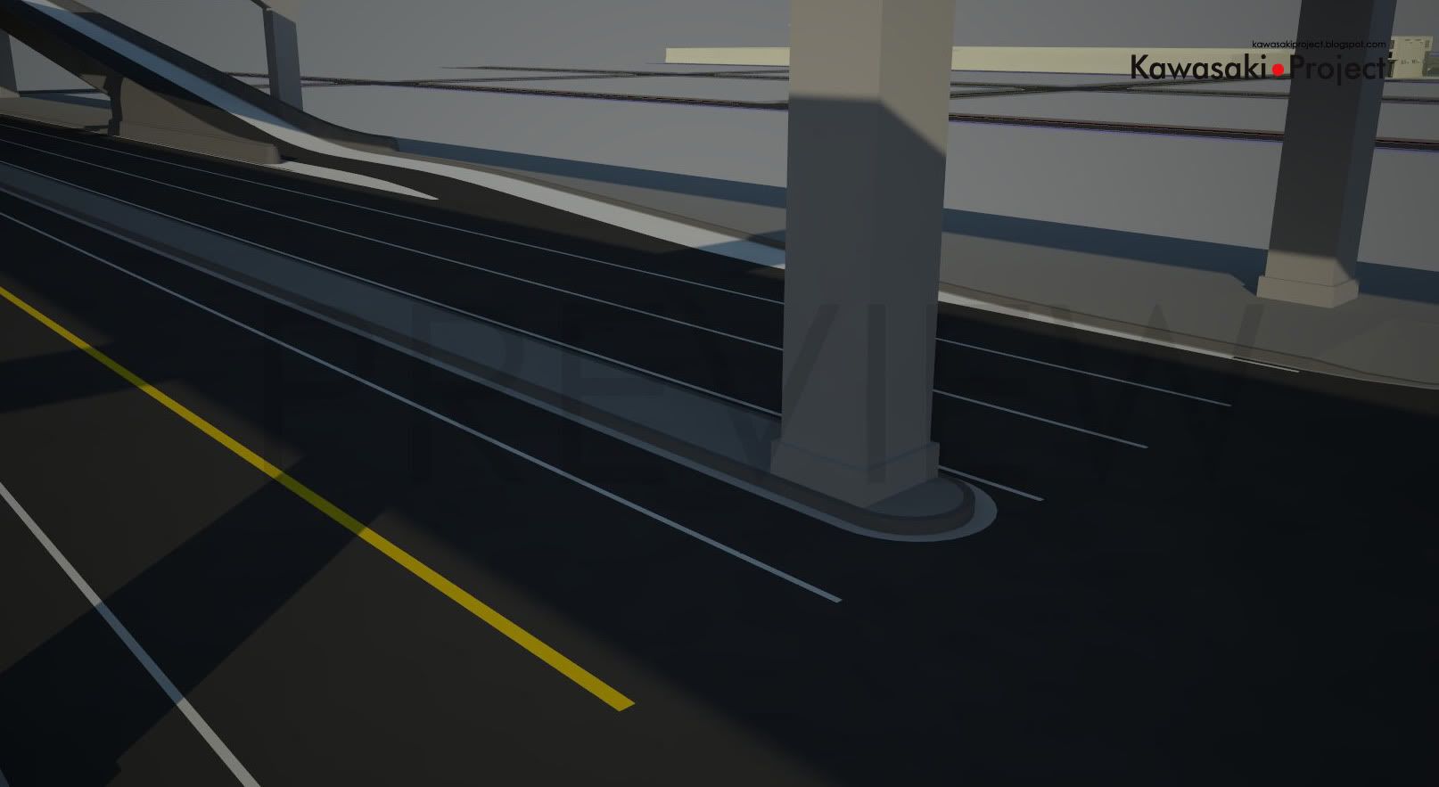
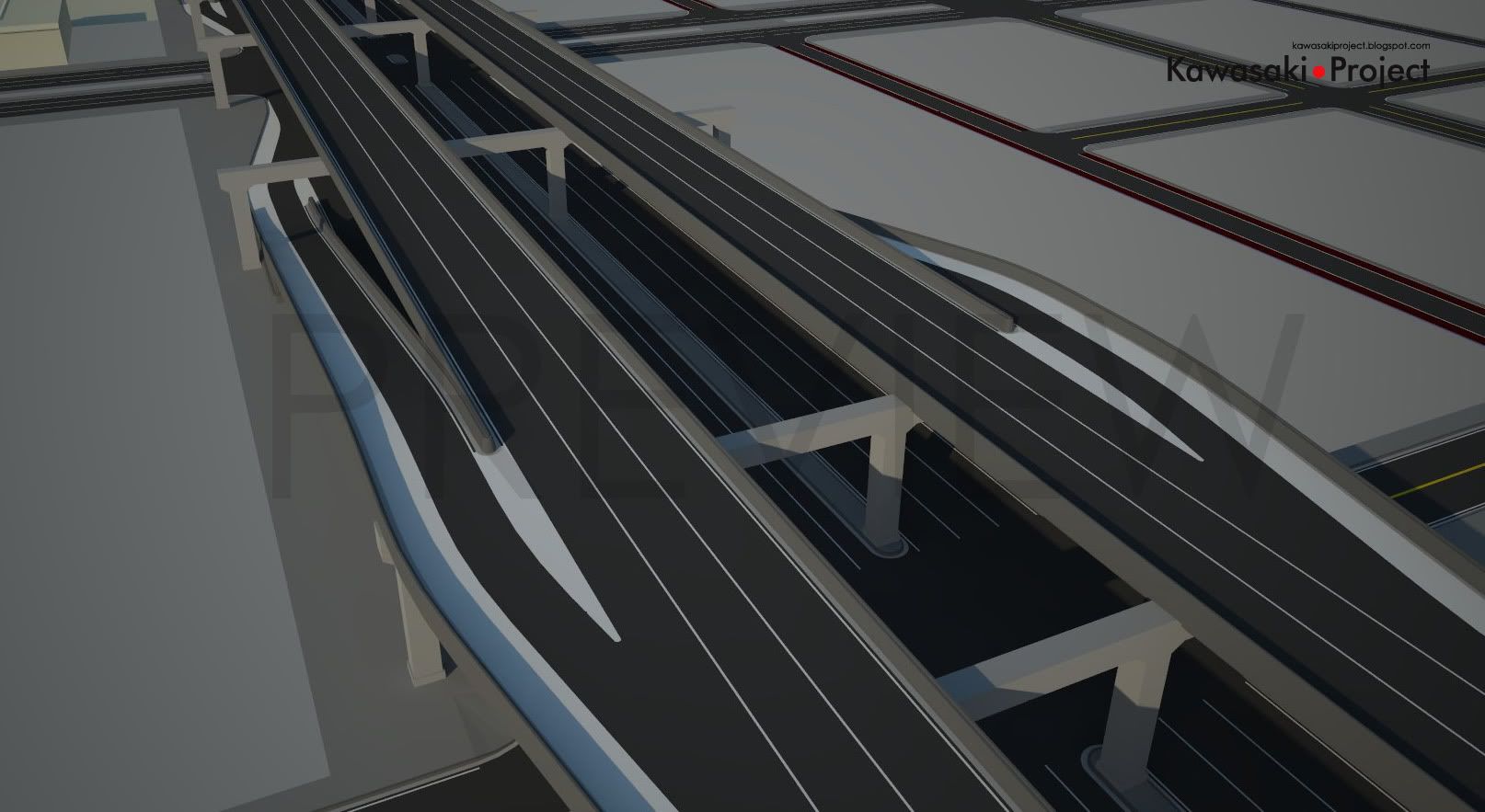
Mediante a isso, aproveitou-se para se implementar novas idéias, como a adição de rampas de entrada e saída da via elevada que corre sobre uma das avenidas principais do mapa. Outra mudança foi o re-escalonamento de algumas quadras, deixando a vizinhança mais uniforme.

Nos próximos passos espera-se a adição de placas de sinalização e iluminação, preparação das calçadas para texturização, adição de guias rebaixadas conforme a necessidade de alguns prédios e colocação de jardineiras em alguns pontos.


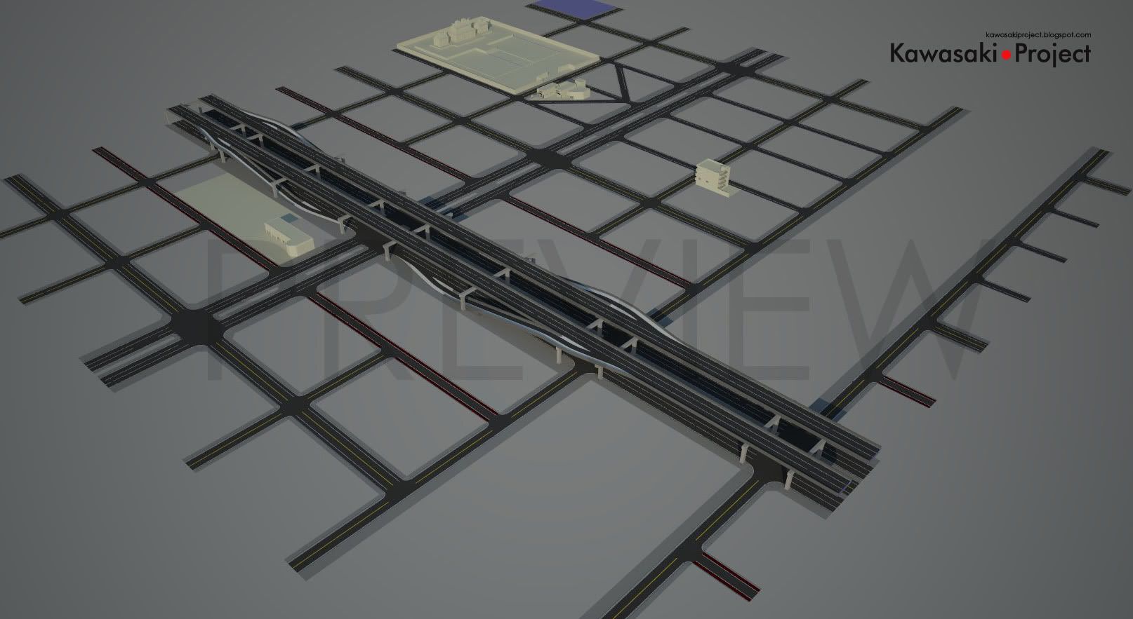
Due a problem that generated a domino effect, I ended up remodeling the entire map again. What happened was that one of the streets that were created to be used as a guideline for the construction of the map had a small difference of angle between one tip and another, that led to all consequential roads to be “slanted”, thus ruining the accuracy of the map. The problem was discovered when I tried to place some of the modeled buildings onto their designated areas. Fortunately, it was something easy to be fixed.

Taking advantage of the rebuilt, I took some time to implement new ideas, such as adding on and off ramps on the highway over one of the main avenues of the map. Another change was the reshape of some of the neighborhood blocks, leading it to have a more uniform size.

On the next steps it’s expected to have the addition of traffic signals and traffic signs, street lightning posts, preparation of the sidewalks for texturing, addition of garage entryways for buildings with garage doors and constructions of some gardeners on specific map points.

Read more...

Streets Update #02

>> sábado, 2 de maio de 2009

Um pequeno update no mapa. Ruas foram modificadas para agregar mais quadras. A posição das pistas elevadas foi modificada também, assim como a o quebra-mar em uma das laterais do mapa.

A principal modificação foi a adição de mais uma avenida, perpendicular a avenida pré-existente. Duas faixas centrais, construídas sob o elevado foram designadas ao tráfego de ônibus, enquanto que seis faixas, tendo três em cada lateral foram designadas para o trafego dos demais veículos.

O calçamento foi modificado também, ficando de acordo com o padrão existente no Japão. Algumas ruas tiveram as calçadas removidas ou modificadas, enquanto as calçadas das avenidas principais foram ampliadas e tiveram suas esquinas remodeladas.


A small update on the map. Streets were modified to add more blocks. The position of the highway was modified as well, so as the breakwater in one of sides of the map.

The main change was the addition of one more avenue, perpendicular to the pre-existing one. Two central tracks, built under the highway were assigned to bus traffic, while six tracks, with three on each side were appointed to the traffic of other vehicles.

The sidewalk was also modified, being in accordance with the existing standard in Japan. On some streets, the sidewalks were removed or modified, while the sidewalks of main avenues had been extended and its corners were renovated.

Read more...

Ruas e Elevados / Streets and Highways

>> sábado, 14 de fevereiro de 2009

Ruas e Elevados, o ponto inicial do meu mapa. O layout ainda não é 100% definitivo, tudo depende ainda das construções a serem adicionadas, mas pelo menos a composição já dá uma idéia do que se esperar.

Os elevados foram modelados através de um simples processo de extrusão ao longo de uma linha, usando-se a ferramenta “Follow Me” do Sketchup. A maior dificuldade aqui foi traçar a linha a ser seguida, de forma que tanto a curva quanto a transição de uma pista sobre a outra para pistas paralelas fosse a mais suave possível.

Já as bases de sustentação dos elevados foram trabalhadas de forma a serem modulares, facilitando assim o reposicionamento e futura texturização das mesmas. De resto, ainda falta modelar as barreiras de som nas bordas laterais do elevado, semelhante às existentes na realidade.

As ruas foram mais simples de serem modeladas, uma vez que todo o mapa se situa em uma região plana, elas foram extrudadas de uma seção plana, de forma a manter a proporção de suas medidas. As esquinas foram geradas através de círculos geométricos simples. Por enquanto, esse será o layout do mapa quanto à composição das quadras. Dependendo da evolução do trabalho, mais ruas e seções do podem vir a serem adicionadas, podendo ter inclinações diferentes...


English:

Streets and Highways, the starting point of my map. The layout is still not 100% definitive, everything depends on the buildings that are yet to be added, but the composition of it already gives an idea of what to expect.

The Highways have been modeled by a simple process of extrusion along a line, using the “Follow Me” tool of Sketchup. The main difficulty here was to draw the guide line, so that not only the curve, but the transition of one track above another to a parallel track layout was the smoothest one.

The Highway Support’s were modeled to be modular, making it easy to reallocate them if necessary and texture them. For the rest, sound insulation barriers need to be modeled on the lateral edges of the highway, just like the ones in real life.

The streets were simpler to be modeled, since the entire map is sitting on a flat region. They were extruded from a measured flat section of a plane, being careful to keep their proportions right when compared to the real world. The corners were generated by simple geometric circles.

For now, this is the layout of the map as the composition of the neighborhood blocks goes. Depending on how the progress work goes, more sections of streets are likely to be added, even having different shapes and degrees of inclination.

Read more...

Followers

Add This


Bookmark and Share

Subscribe

Creative Commons

  © Free Blogger Templates Selamat Hari Raya Aidilfitri by Ourblogtemplates.com 2008

Back to TOP