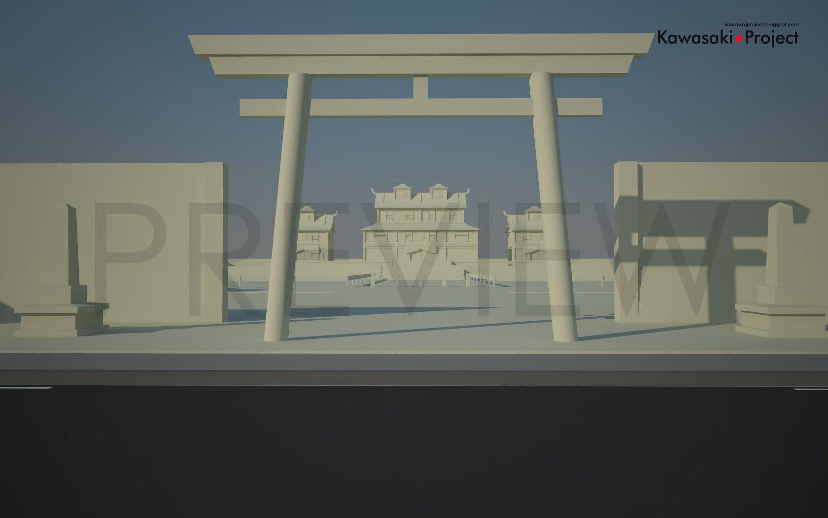
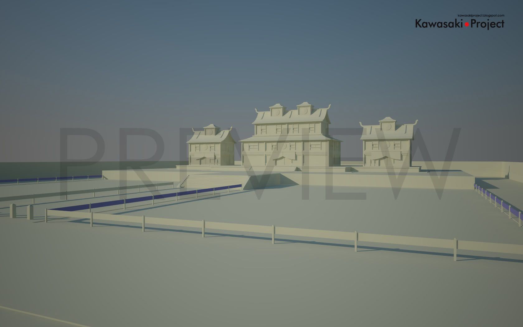
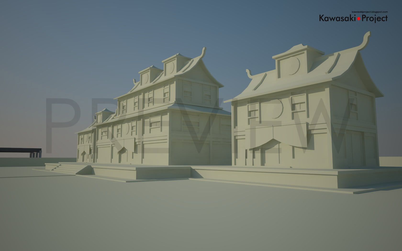
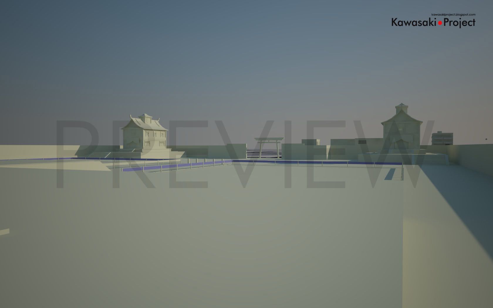
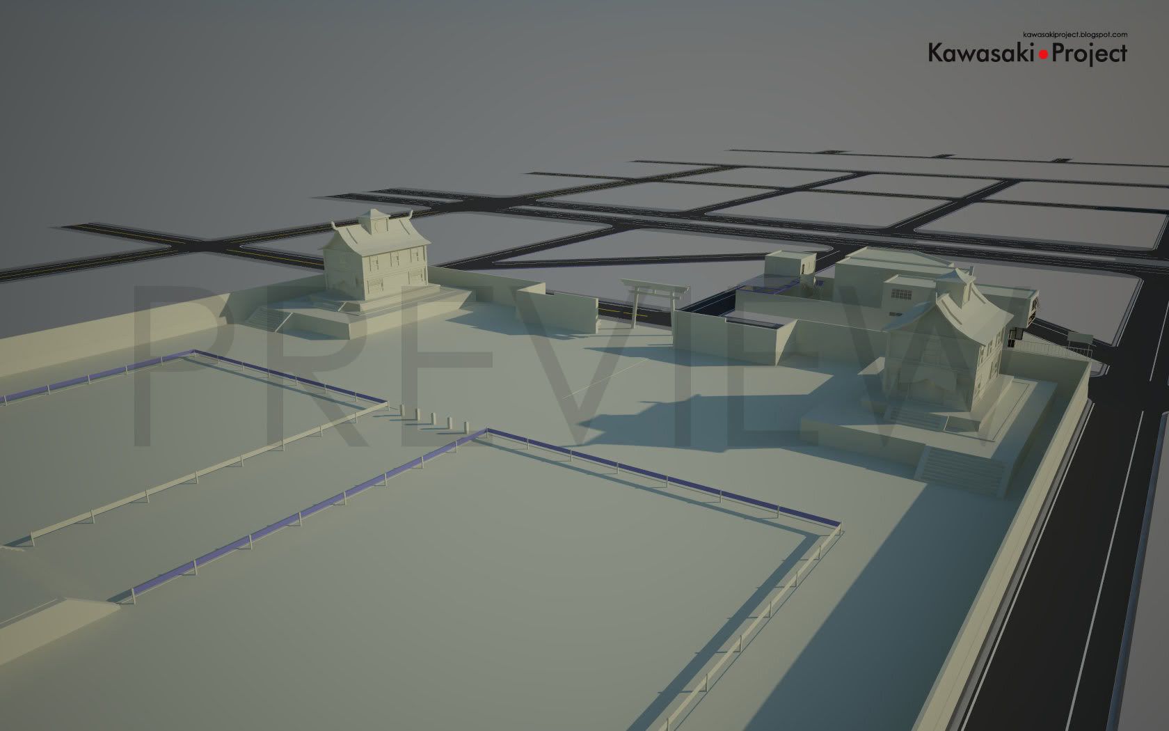
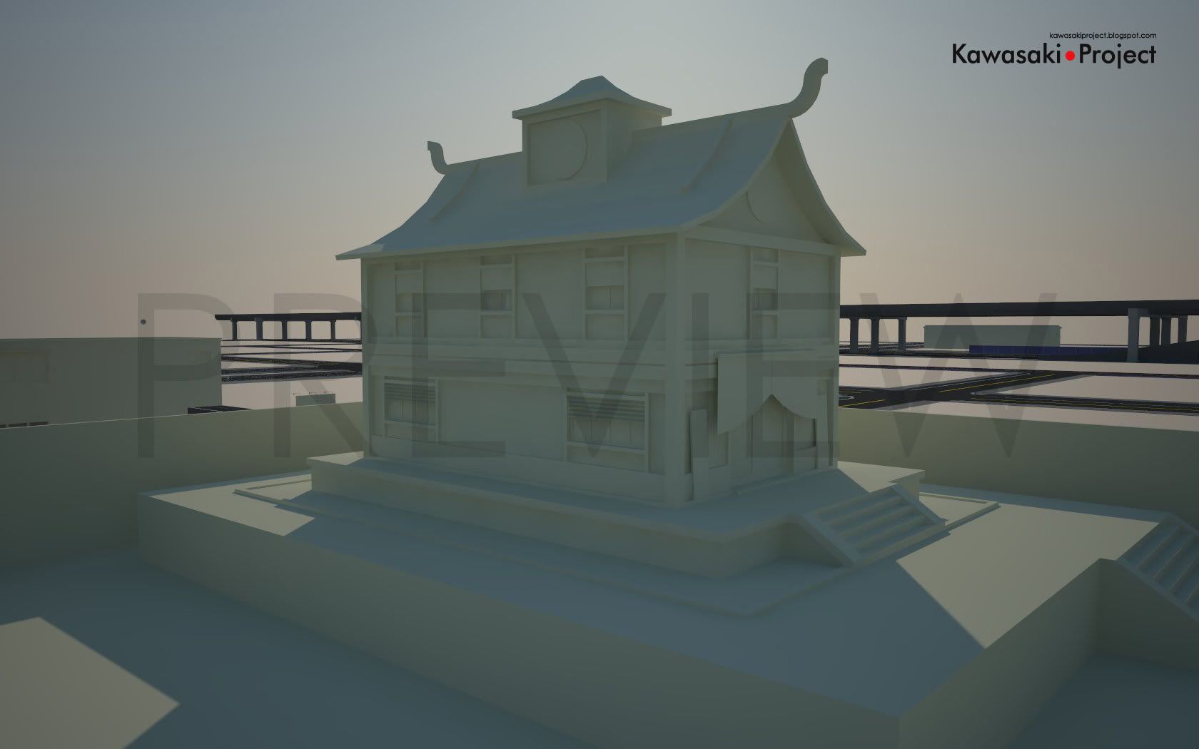
Devido a um problema que gerou um efeito tipo “dominó”, acabei por refazendo quase que todo o mapa novamente. O que aconteceu foi que uma das ruas utilizadas como guia de construção tinha uma diferença de ângulo entre uma ponta e a outra, fazendo com que todas as conseqüentes fossem modeladas “inclinadas”, tirando assim a acuidade do mapa. O problema se mostrou ao tentar se fazer o encaixe de alguns prédios em suas áreas designadas. Felizmente foi algo que pode ser identificado logo de inicio.
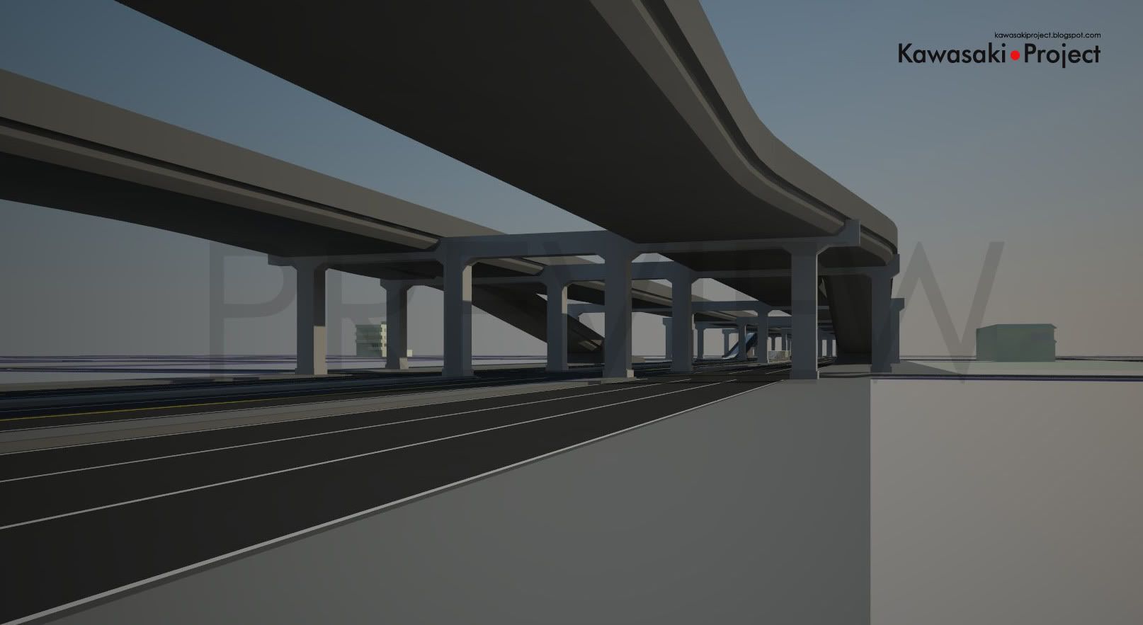
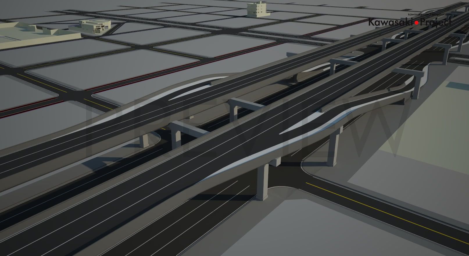
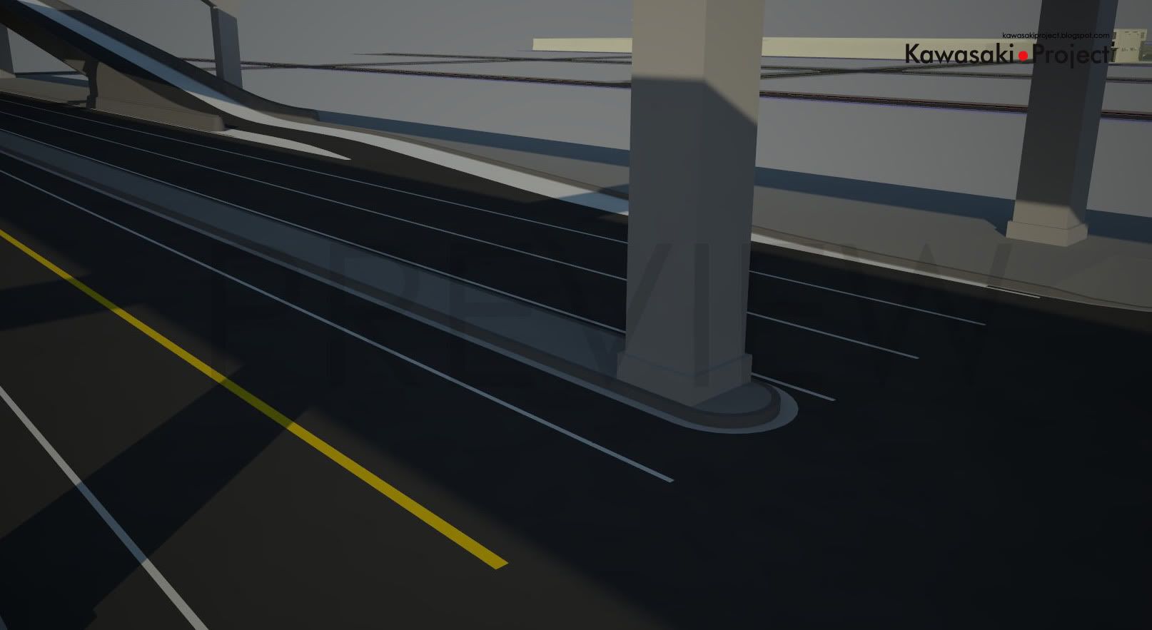
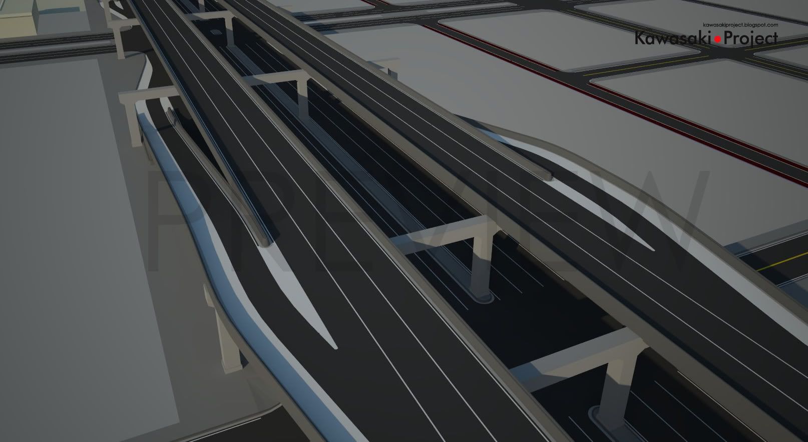
Mediante a isso, aproveitou-se para se implementar novas idéias, como a adição de rampas de entrada e saída da via elevada que corre sobre uma das avenidas principais do mapa. Outra mudança foi o re-escalonamento de algumas quadras, deixando a vizinhança mais uniforme.
Nos próximos passos espera-se a adição de placas de sinalização e iluminação, preparação das calçadas para texturização, adição de guias rebaixadas conforme a necessidade de alguns prédios e colocação de jardineiras em alguns pontos.
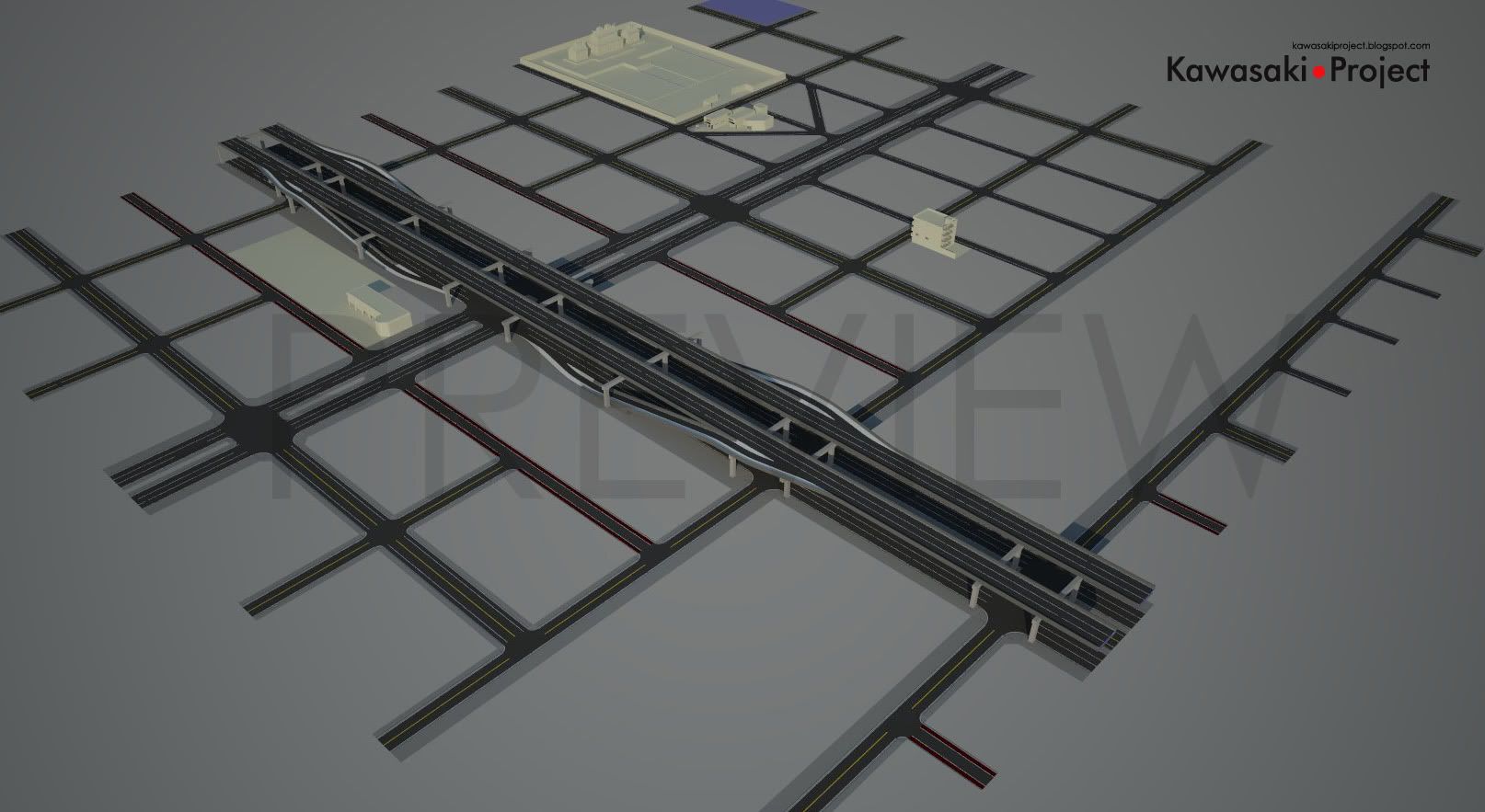
Due a problem that generated a domino effect, I ended up remodeling the entire map again. What happened was that one of the streets that were created to be used as a guideline for the construction of the map had a small difference of angle between one tip and another, that led to all consequential roads to be “slanted”, thus ruining the accuracy of the map. The problem was discovered when I tried to place some of the modeled buildings onto their designated areas. Fortunately, it was something easy to be fixed.
Taking advantage of the rebuilt, I took some time to implement new ideas, such as adding on and off ramps on the highway over one of the main avenues of the map. Another change was the reshape of some of the neighborhood blocks, leading it to have a more uniform size.
On the next steps it’s expected to have the addition of traffic signals and traffic signs, street lightning posts, preparation of the sidewalks for texturing, addition of garage entryways for buildings with garage doors and constructions of some gardeners on specific map points.
Read more...
